Lake Maumelle's Newest Trail Begins at a Roland Marina
October 22, 2026
October 22, 2026
The newest stretch of wild trail in central Arkansas starts at a marina gate on Highway 10, and the Pinnacle Mountain visitor center is where it ends. The South Lake Trail System officially opened on Oct. 19. It adds 13.5 miles of new hiking and biking trail along the undeveloped south shore of Lake Maumelle, and its main route runs from WestRock Landing Marina at 11800 Maumelle Harbour Road in Roland over to Pinnacle Mountain State Park.
If you live along Highway 10, that puts the easy end of the trail close to home. The hard end, with the highway crossing, is the one at the state park. The trail is also unusually quiet because it crosses land that exists to keep the region's drinking water clean.
Central Arkansas Water's Lake Maumelle page puts the trailhead near the intersection of Highway 10 and Maumelle Harbour Road. You can park at the marina, but the utility asks that you leave the spaces nearest the boat ramps for trucks with trailers. When Arkansas Times writer Elizabeth L. Cline hiked the whole route in mid-September, she found the trailhead just past the entrance gate on the right.
The marina was mid-project when she visited. Its parking lot was under construction and Central Arkansas Water was building a new office on the site, but there was still room to park. The marina store also sells a small selection of drinks and snacks, so it's the place to top off your water before heading out.
Cline started from the Pinnacle side. She parked one car at the visitor center and drove the second about 12 minutes to the marina. From Roland, you can flip that. Leave a car at the visitor center first, come back to the marina and walk east. Her tip applies either way: carry the keys for the car waiting at the far end.
Lake Maumelle is a drinking-water reservoir, and the land around it is managed for that purpose. The Arkansas Times reported that this is the first trail to go this deep into the utility's land on the south side of the lake. Bryan Rupar, Central Arkansas Water's watershed protection manager, explained the stakes to the paper:
"Water is so vital to public health, to our economic growth and stability, and just our everyday life. It's hard to understate the value of that resource."
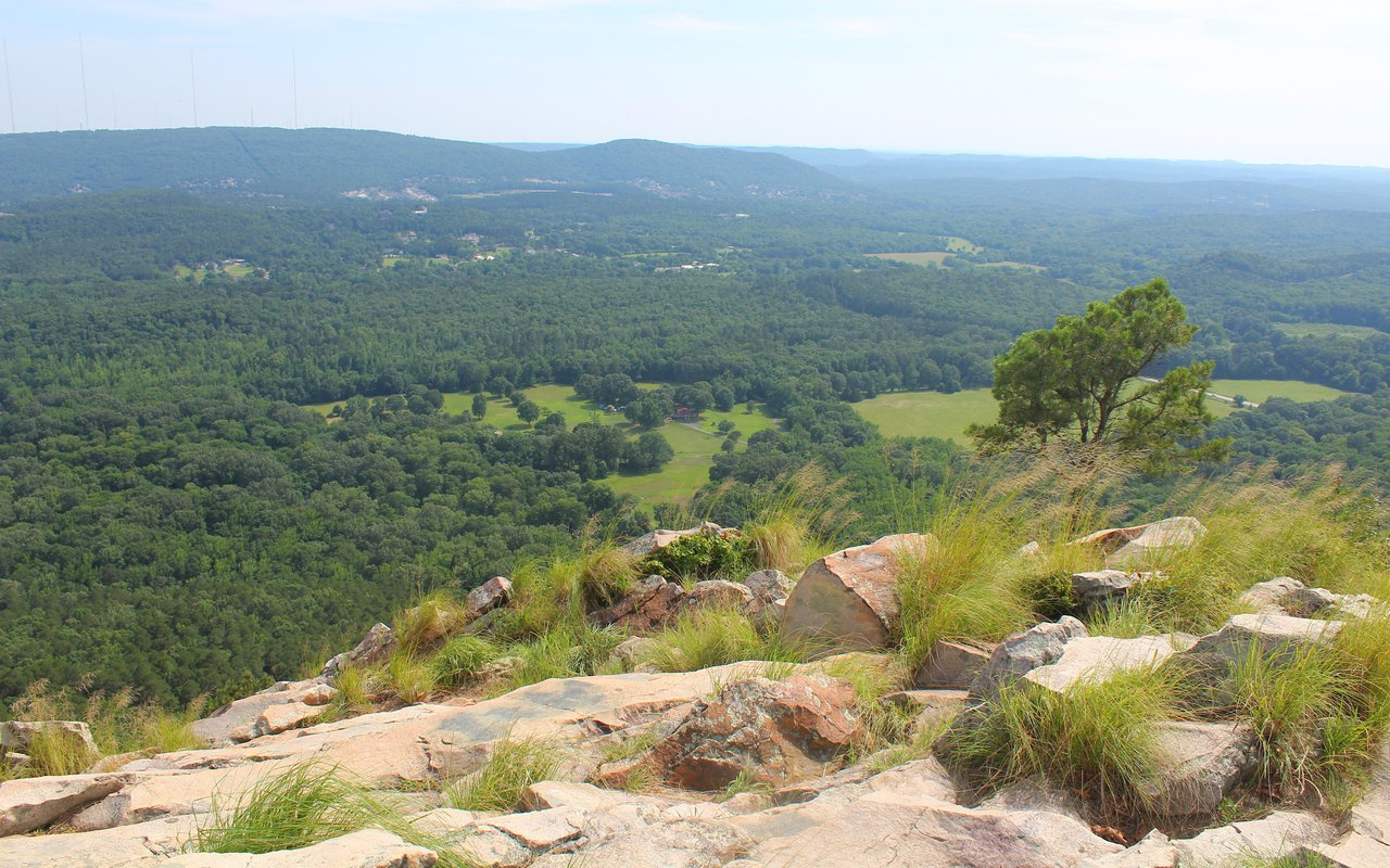
That purpose explains what you see from the trail. Halfway along, the path drops to the shoreline and looks across open water, with only a few homes visible on the far crest. Strict no-body-contact rules apply, so swimming, jet skis and even trailing a hand in the water are off-limits. Drought had pulled the lake well down by mid-September. Rupar told the Arkansas Times that drinking water levels were not in danger, and that the low water meant few boats and an unusually quiet hike.
The woods themselves are managed with fire. You'll see char low on the trunks and a thin understory, both left by prescribed burns that help the forest resist wildfire, pests and disease. Cline's companion, a master naturalist, noticed how few invasive plants like nandina and privet grew along the route, and how many natives there were: American beautyberry, beakgrass, ferns and camphorweed.
The Nature Conservancy worked on the project with Central Arkansas Water, the Arkansas Natural Heritage Commission, Arkansas State Parks, the Office of Outdoor Recreation and the Arkansas Game and Fish Commission. A federal grant paid for it, with matching money from the water utility and the State of Arkansas, and the work took under a year. Arkansas Outside named Affordable Trail Solutions as the builder.
The new trail is part of a larger network. You may have seen the figure of more than 50 miles, as in Little Rock Soirée's October roundup. That number covers the whole continuous system once the Southlake trails link up with the Monument Trails at Pinnacle, Rattlesnake Ridge and Blue Mountain. The new construction is the 13.5 miles. The South Lake Trail, the marina-to-park route at its center, is listed at 10.1 miles by Central Arkansas Water and 9.8 miles by the Arkansas Times.
The full point-to-point route takes a long day. Cline's group walked it in about five hours at roughly 2 miles an hour. Three connector trails cut it down. Central Arkansas Water says you can enter from any trailhead and build one-way routes, loops or lollipops to fit the distance you want. Measured from the marina, the Arkansas Times account places them here:
The first two junctions sit close to the marina, so Roland is a natural starting point for shorter outings that loop into Blue Mountain or Rattlesnake Ridge and never reach Highway 300. Arkansas Outside also listed other ways in. From the Blue Mountain Trailhead on Highway 10, take the Luna Moth or Tarantula Hawk trails. From Rattlesnake Ridge on Barrett Road, take the Canebrake or Diamondback trails.
The trails aren't blazed. Central Arkansas Water says signs stand at the major intersections. The Times hikers followed along in the MTB Project app and expected the system to appear on AllTrails soon.
Mountain bikers use these trails too. Arkansas Outside describes them as cross-country singletrack built to follow the land's natural contours. There are no steep descents or jump lines, and switchbacks are rare, found mostly on the Cliffbrake and Drip Torch section. The Times hikers met more riders on the early miles near the marina. Good sightlines and a gentle grade made it easy to spot bikes and step aside.
The trail leaves the woods at Arkansas Highway 300 and Pence Drive. From there, you cross the highway, walk up a gravel road to the right, and take a two-minute path through the woods to the visitor center. Cline wrote that cars fly down that road and urged hikers to cross with real care.
A safer crossing has been in the works. In July, Arkansas Outside reported plans for a surface crossing with push-button flashing caution lights near the park's Region 2 office entrance, between Pinnacle Valley Road and Barrett Road. ARDOT had agreed to lower the speed limit there to 45 mph. Even with signals in place, treat Highway 300 as fast traffic. If you start from Roland, this crossing comes at the very end, when your legs are tired.
The visitor center is worth the effort. It has restrooms, water fountains and a gift shop with snacks. Cline finished her hike with a cup of Loblolly ice cream there.
Between the two ends, the trail has no bathrooms, no campsites, no water refill stations and few ways out. The Times hike took place in heat well above 90 degrees, and the group drank every drop they carried. Cline brought 3 liters of water with electrolytes, and on that day it was just enough. Cooler late-October weather helps, but the supply points stay the same: the marina at one end and the visitor center at the other.
The posted ground rules are short:
The best views come in the next few months. The early miles out of the marina climb into shaded pine and oak forest, which Cline expected to show strong fall color. In winter, the lake draws migrating waterfowl, including bufflehead ducks, loons and mergansers, and the shoreline section near the halfway point looks right out over the water where they gather.
I've worked in Roland and along Highway 10 for decades, and having a new trailhead minutes from home changes what a free Saturday can look like out here. If the South Lake Trail has you wondering what your home near Lake Maumelle is worth these days, Kristen Honea McCready can walk you through it over coffee at the marina or on the phone. Start with an Instant Home Valuation.
Work with Kristen for a real estate experience defined by passion, innovation, and results. With the latest tools, market insights, and a client-first approach, she turns your goals into reality.
Keller Williams Realty
Kristen Honea McCready
(501) 960-5353
12814 Cantrell Rd Little Rock AR 72223